
Representative examples of how Espacio Métrico is applied in active monitoring projects. Data is real; project names are anonymized.
Integration of piezometric network (18 instruments), positional inclinometers (6 tubes) and weather station in an active tailings deposit. The system ingests data every 15 minutes and evaluates thresholds according to the current emergency plan.
The client accesses the panel from the central office and from the field (tablet) with the same user, without installing an application.
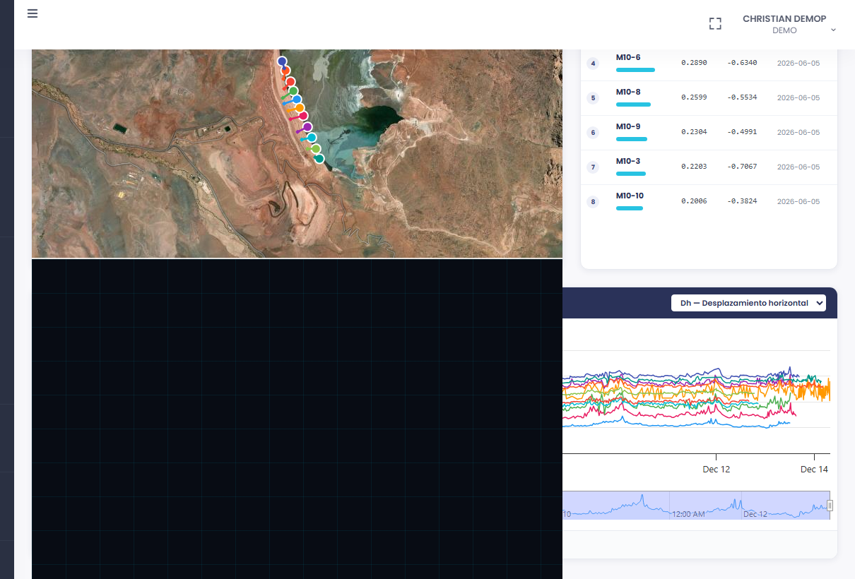
Network of survey prisms (211 instruments) and weather stations distributed across a 28 km corridor. Robotic total station readings are automatically integrated every hour.
The automatic correlation between rainfall data and slope movement allows critical sectors to be identified before they exceed the design threshold.
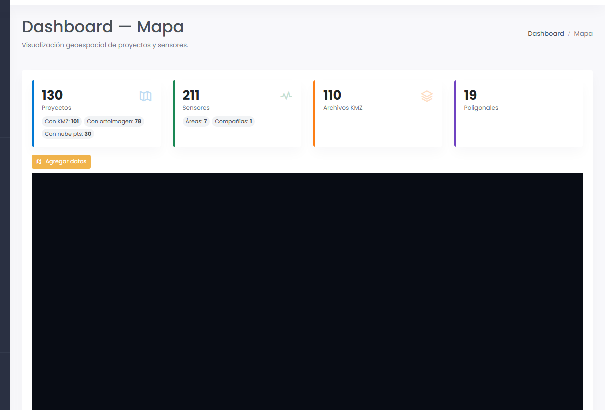
In a mining expansion project with over eight years of operation, the platform analyzes the accumulated topographic survey inventory: each campaign is recorded with its date, extent and capture method.
The system calculates coverage age by sector and the percentage of the total area covered with current material. Areas without recent updates are highlighted on the map, allowing the technical team to design the next campaign efficiently — without surveying where data is still valid.
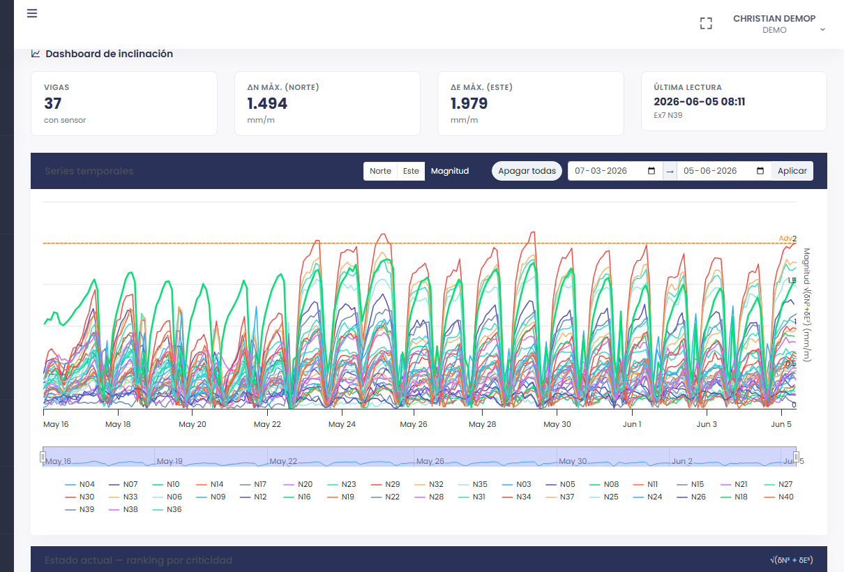
We show the platform with real data in a 30-minute session, no installation and no commitment.