
The platform is configured according to the operation: sensor type, reading frequency, alert thresholds and report format are all adjustable per project and industry.
Espacio Métrico is used in tailings storage facilities, pit slopes and waste dumps. The platform integrates the piezometric network, positional inclinometers and survey prisms in a single panel, with alerts configured according to the project emergency plan.
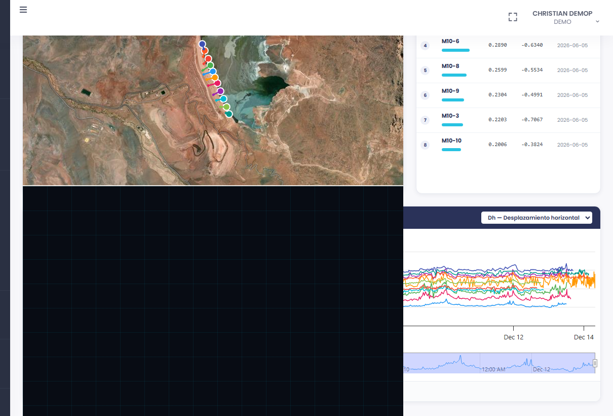
In linear infrastructure projects, the platform consolidates the distributed monitoring network along the corridor. Survey prisms, extensometers and piezometers are visualized on the same georeferenced map, tracked by kilometer and by structure.
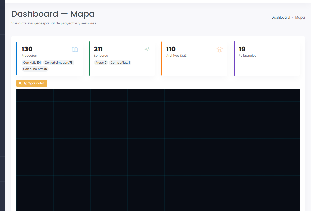
For reservoirs and hydroelectric plants, the platform centralizes dam instrumentation and seepage control. Water table levels, pore pressures and civil structure deformations are continuously monitored with full historical records.
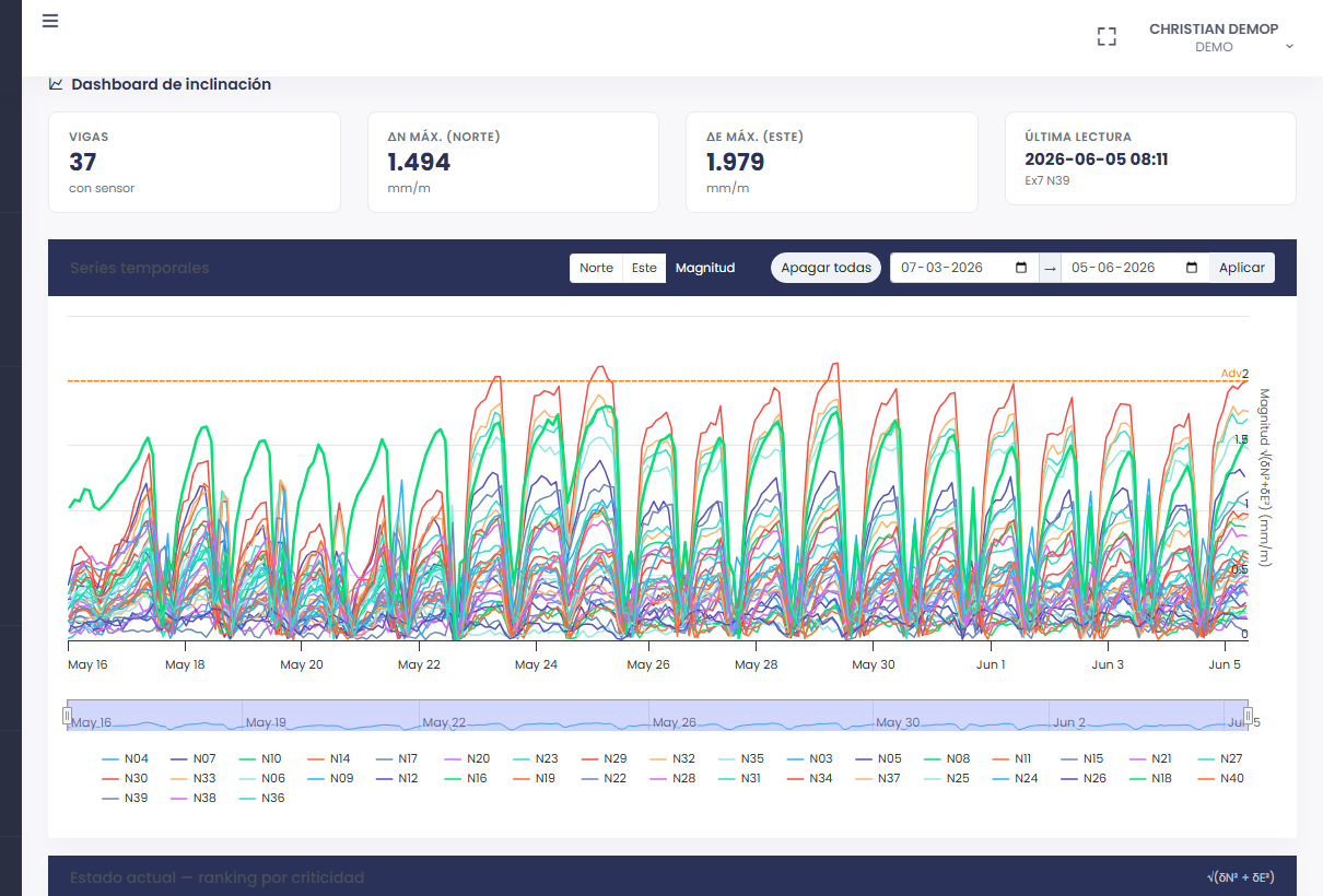
The platform adapts to any project requiring continuous monitoring of georeferenced sensors. Let's talk.